


HRCE temple land parcel
R.S. No.665/2 (Azhaganatchiyamman Karuppannaswamy Mariyamman Bhagavathiyammantemple, Palaiyajeyankondam, 639102) Property
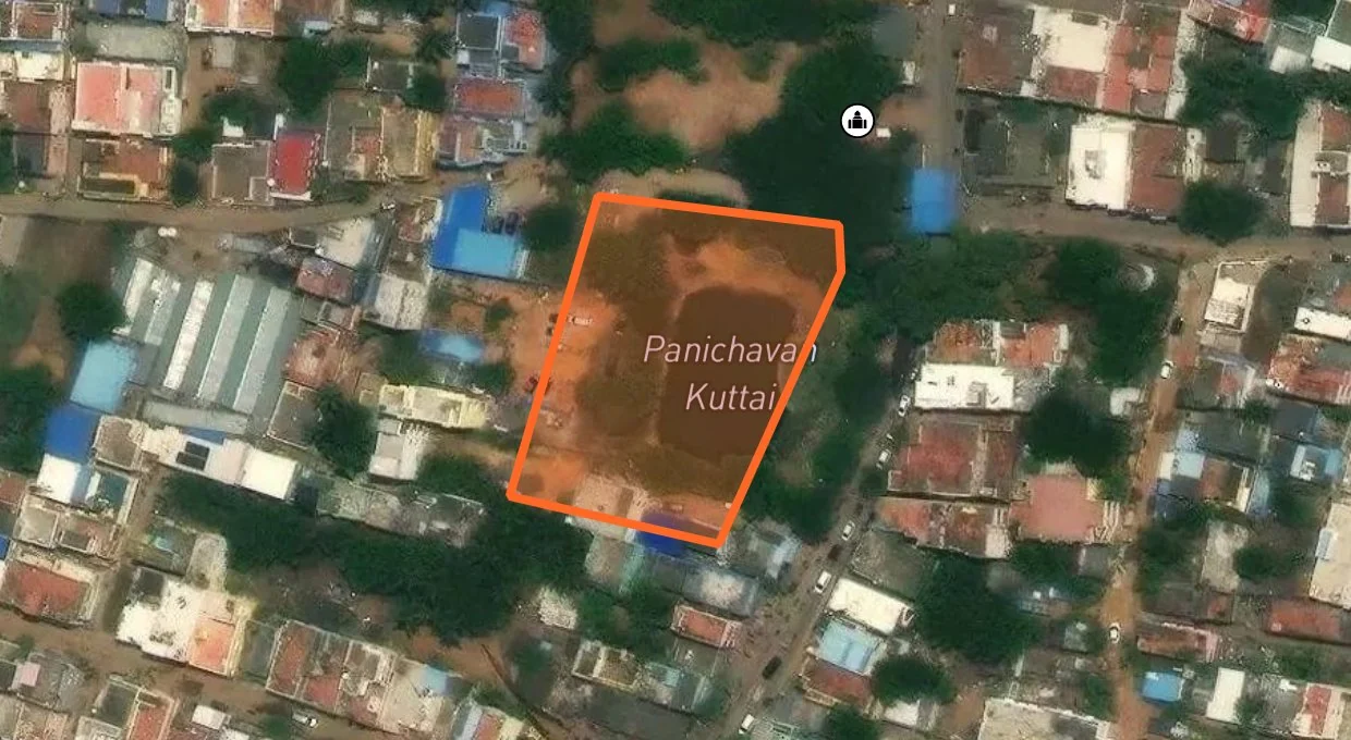
Survey number R.S. No.665/2 in Mahadanapuram(s) village, Krishnarayapuram taluk, Karur district is registered temple land of Azhaganatchiyamman Karuppannaswamy Mariyamman Bhagavathiyammantemple, Palaiyajeyankondam, 639102 in the HR&CE department records, with an extent of 16450 sq.m. Temple land cannot be legally bought from a private seller; always verify the survey number before any transaction.
Last updated:
Parcel details
- District
- Karur
- Taluk
- Krishnarayapuram
- Village
- Mahadanapuram(s)
- Rural or urban
- Rural
- Old survey no.
- 665-2
- Survey no.
- 665
- Sub-division
- 2
- Patta no.
- 7
- Extent
- 16450 sq.m
A-Register extract
| 1. புல எண் | 665 | 10. மண் வயனமும் ரகமும் | 8 - 3 |
| 2. உட்பிரிவு எண் | 2 | 11. மண் தரம் | 15 |
| 3. பழைய புல உட்பிரிவு எண் | 665-2 | 12. தீர்வை (ரூ - ஹெ) | 1.24 |
| 4. பகுதி | - | 13. பரப்பு (ஹெக்டேர் - ஏர்) | 1 - 64.50 |
| 5. அரசு / ரயத்துவாரி ரயத்துவாரி | ரயத்துவாரி | 14. மொத்த தீர்வை (ரூ - பை) | 2.03 |
| 6. நிலத்தின் வகை நஞ்சை | புஞ்சை | 15. பட்டா எண் | 7 |
| 7. பாசன ஆதாரம் A | - | 16. இரு போகமா | - |
| 8. குறிப்பு | - | ||
| 9. பெயர் | 1.அருள்மிகு பிடாரிஅம்மன் அழகநாச்சியம்மன் கோவில் . ... | ||

1. மேற்கண்ட தகவல் / சான்றிதழ் நகல் விவரங்கள் தமிழ் நிலம் மென்பொருளில் இருந்து (https://eservices.tn.gov.in) பெறப்பட்டவை.
2. இத் தகவல்கள் 23/06/2024அன்று 09:02:29 PM நேரத்தில் அச்சடிக்கப்பட்டது.
Need Complete Property Verification?
Get ownership details, EC records, FMB, zone checks, geo-insights & AI analysis - all in one place


Ask the records, or walk the map.
LandLens One answers from Tamil Nadu land law itself, cited to the page, then acts on the registers. One Map lights them up on the parcel. Your history stays in one place across both.
YOU APPROVE ANY SPEND
*Some tools are free of charge, but you need a credit balance to use LandLens One and One Map chat.
