
LandLens Home
Land Lens

Welcome Back

Sign in to continue to dashboard

By continuing, you agree to our Terms, Privacy Policy & Refund Policy

LandLens Minis · 86 tools · 35 free

Try a mini right here. No account for the first look.

Drop a pin on the earth, pick a survey number, type a figure or two names. See what a mini gives back, the record with its date and what it adds, before you sign in and run it on your own land.

sample answers · sign in to run live
13.0418, 80.2341 (pin) Run it, it is free
Delivered. Nothing charged.answered in about a second
Rs 27,500 per sq.ft G.N. Chetty Road · T.Nagar · SRO Thiyagaraya nagar Revision 2024Nearest street, 1 m awayCommercial Special Type I Published 2024-06-30 · Register: 296,010 per sq.metre
Stamp duty7% + 2%
Streets rated nearby5
History held2002 to 2003
A real answer from the register. Sign in to run it on your own pin, still free.Run on my pin
What a mini adds

The record, its date, and what to do next.

A portal shows you a figure. A mini shows you the figure with its revision date, the parcel it belongs to on the earth, the years behind it and the fee it implies.
Dated to its revision

Dated to its revision

Every figure carries the date the register published it and the office that holds it, so the number you quote is the number a registrar will recognise.
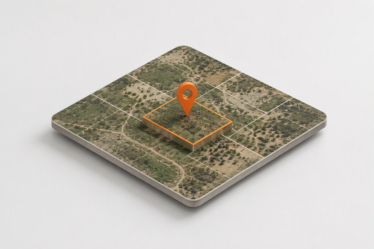
The parcel, on the earth

The parcel, on the earth

A pin resolves to the survey number under it and the answer is drawn on satellite imagery with the parcel outlined, so you are never reading about the wrong plot.

The years, and the fee

The years, and the fee

Beside the rate you get the year-by-year history the register holds and the stamp duty and registration fee on the guideline amount, computed on the spot.

Every mini

Pick the question. The register answers.

Grouped the way a deal moves: find the parcel, read who owns it, what it is worth, what restricts it, who approved it, and what the courts and registers say.

Location and parcel

Turn a pin, a link or a survey number into a parcel you can act on.

11
Sub-registrar office finder Which Sub-Registrar Office covers a plot, with its zone, guide village and the offices above it, plus the encumbrance date ranges that office holds. Free Subdivisions of a survey Every subdivision the register holds under a survey number, so you know whether 178 is one plot or thirty, and whether 178/1C exists at all. 1 credit DIGIPIN, the digital address of a spot The official India Post DIGIPIN for the exact spot under a pin, a 10-character code that identifies a 4 m by 4 m square, with the pincode and post office that serve it. Free Pincode and post office of a spot The postal pincode, post office, office type and postal division for the exact spot under a pin. Free Vacant land tax on an assessment The municipal tax register of any Tamil Nadu local body outside Chennai, read live from the assessment number on the receipt: vacant land tax on its own line, paid and outstanding, and the survey the assessment sits on. 1 credit Browse the sub registrar office directory Which villages an office covers, which offices a district has, or which office a village falls under. Free Chennai property tax, water or power at a pin The Greater Chennai Corporation property tax record, the CMWSSB water tax record, or the TANGEDCO electricity connections at a building, from its pin. One register per run. 2 credits Which survey number is this pin? The survey number, village, taluk and district under a pin, with the revenue codes and whether the parcel is rural or urban, from the state cadastral layer. 1 credit Look up a Chennai tax bill A Greater Chennai Corporation property tax bill or a CMWSSB water tax bill from the numbers printed on it. Free Property tax and water dues Chennai property tax dues and arrears, water tax dues and CMWSSB connection details from the offline registers, by bill number, consumer number or address, plus a live electricity bill by consumer number. 1 credit District, taluk and village directory Walk the revenue directory and collect the codes every land record needs: the taluks of a district, the villages of a taluk, and inside a town its wards and blocks, each with the name as the register writes it. Free

Ownership and records

The government record itself: patta, chitta, TSLR, FMB.

8
Land record: patta, chitta, TSLR The government ownership record for a survey number, live from the revenue register: patta or chitta for a village, the TSLR extract for a town, with the subdivisions beside it. 2 credits FMB sketch The Field Measurement Book sketch for a survey number, the official measured boundary the revenue department holds, as a PDF with the parcel mapped beside it. 1 credit Who owns the plots next door The parcels that share a boundary with the plot under a pin, each with its recorded owner in both scripts and whether it is government, road or poramboke land. 2 credits Land class, soil and tax of a survey The revenue register's own description of a survey: wet or dry classification in Tamil and English, soil class and type, tenure, whether it is government land, the annual tax and the extent, for every subdivision. 1 credit Crop and cultivation record of a survey The e-Adangal register entry for a rural survey: the crops recorded, the season, the cultivator and the irrigation notes. 1 credit Owner of a survey, from the register copy The recorded owner of a rural survey from the revenue A-register copy we hold, instantly and even when the government portal is down, with the land type and the subdivisions. 1 to 4 credits Who owns the land at this pin A pin on a plot, and the owner the government register records for it: the parcel is located from the cadastral map and then read out of the correct register, patta and chitta for rural land, the town survey register inside a town. 2 credits Verify a patta or TSLR certificate Paste the code under the QR on a patta, chitta, A-register or town survey extract and the register decrypts it back into the record it issued, so the paper in your hand can be compared field by field. 1 credit

Value and duty

Official rates, trends and what a registration will cost.

9
Guideline value The official registration rate at any point in Tamil Nadu, dated to its revision, with the year-by-year trend and the stamp duty it implies. Free Stamp duty and registration fee What a registration in Tamil Nadu costs for any deed: sale, gift, settlement, partition, mortgage, lease and more, from the official rate table. Free Land unit converter Cent, ground, acre, hectare, kuli, veli, kaani, square feet and the rest, converted exactly, with the whole equivalents table in one go. Free Capital gains on a property sale The gain and the tax on selling a property, with cost inflation indexing, under both the indexed and the post-July-2024 regimes. Free How the registration department classes a survey The registration department's own classification of a survey for valuation, the class it is valued as, when the register holds a survey level entry. 1 credit Composite value for flats on a street The registration department's composite guideline rate per square foot for apartments and buildings on a street, a different register from the land guideline value. 1 credit Where a street sits in its locality A guideline value in context: where a street's rate sits within its village, its sub registrar office and its zone, with the cheapest and dearest streets around it. 1 credit Stamp duty on a first sale flat Stamp duty and registration fee for a flat, villa or row house bought from the builder, split between the undivided share of land and the construction agreement. Free Land rate converter A price per one land unit expressed as a price per another: rupees per square foot into rupees per cent, ground, acre or square metre, on the same factors the extent converter uses. Free

Zones and restrictions

Coastal, flood, forest, airport, heritage and utility layers at a point.

9
Zone and restriction check Pick the layers that matter, coastal, flood, forest, airport, heritage, power lines, water bodies and more, and get a dated verdict for each at your pin. 1 credit Waterways around a plot Every named river, canal, stream, odai and drain within two kilometres of a pin, nearest first with the distance, and the mapped tanks and lakes beside them. 1 credit Height and slope of a plot How high a plot sits above sea level, how steeply it slopes and which way the ground falls, with the maximum building height the airport rules allow there. Free Is this land in a mapped slum area Whether a plot in Chennai, Madurai, Coimbatore, Tiruppur or Erode falls inside a slum boundary on the state GIS slum map, which slum area it is, and how many mapped slum areas lie within 500 m. Free Mapped slum areas in a corporation, zone or ward The slum areas the state GIS slum map holds for Chennai, Madurai, Coimbatore, Tiruppur or Erode, and for a Chennai zone or ward, with each area's name, code and size where the map records them. Free Compare two to four plots The same snapshot for each plot side by side: survey identity, guideline rate, planning authority and the recorded flags (flood, water body, coastal, airport, power line, land use). 3 credits Terrain and land-science profile Elevation, slope, aspect, geomorphology, geology, land use, soil, watershed and rainfall at a pin, read from the state GIS layers. Advisory, not survey grade. 1 credit Soil under a plot The soil class at a pin with the figures a foundation or farming decision needs: indicative bearing capacity, drainage, permeability, how hard it is to excavate and the foundation type the class suggests. Free Is this land in an industrial park Whether a pin or a survey number falls inside a plot in the state industrial corporation's park register, with the plot number, its status, the recorded allottee and the extent. Free

Planning and building

Who approves, what was approved, what the rules allow.

15
True plot area The real area of a four-sided plot from its four side lengths, and how much a length-times-width estimate overstates it. Free Planning authority at a point Who approves a building plan or layout for this land: CMDA, DTCP, a local planning authority or the local body, from the state planning boundary layer. 1 credit Approvals on a survey number Every recorded planning approval on a survey number: layout approvals, building permits, completion certificates and RERA registrations, grouped by place, from our consolidated permit index. 1 credit Maximum building height near an airport The height a building may rise to at a pin under the airport funnel rules, from both the state NOC layer and the AAI colour zoning, with whether a proposed height clears it. Free Airport height clearances already granted near a plot The height clearances the Airports Authority of India has actually issued within a kilometre and a half of a pin, each with the permissible top elevation, the height it leaves above the ground that applicant declared, and the certificate itself. Free Road width at a plot The width of the road or roads a plot fronts, measured from the cadastral map at the frontage, with the frontage length and whether the plot is a corner. 2 credits Approved layouts near a plot The RERA registered residential layouts within three kilometres of a pin with their promoters and status, and whether the survey under the pin has an approved DTCP or PPA layout permit. 1 credit Search the CMDA registers Search CMDA planning permissions, violations, locked and sealed buildings, sealing notices, developers, professionals and completion certificates by name, file number, permit number or village. 1 credit Search the CMDA file registers Search the CMDA file series the register check does not cover: ordinary building permits, layouts, special buildings and the rest, by file number, approval number, applicant, promoter or street. 1 credit Search planning permission approvals Search the Tamil Nadu planning permission approval register of DTCP, town panchayat and rural panchayat building plan and layout approvals by application number, approval number, district, village or year. 1 credit Profile a Chennai street The recorded road width of a Chennai street, which gates what can be built on it, with the street's place in the corporation register. 1 credit Find the master plan sheet for a place The CMDA master plan or detailed development plan sheet that covers a Chennai neighbourhood, ward or local body, with the link that opens it. Free How many plots a land can be cut into How many house sites a piece of land can be cut into at a plot size you choose, with the internal road and whether the rules allow it, from the frontage and depth or the sides. Free OSR fee for a layout or sub-division The open space reservation obligation in rupees for a layout or sub-division, and whether land must be gifted to the local body instead of paying. Free Building rule calculators Single answer calculators from the Tamil Nadu building rules: setbacks, OSR, EWS reservation, passage width, development type and the rest, for the figures you give. Free

Legal and registers

Courts, charges, endowment and forest registers.

11
Are these the same person? Compare a name on the patta with the name on a deed or an EC, allowing for initials, spellings, honorifics and Tamil script, and get a reasoned verdict. 1 credit Is this survey on the forest list Whether a survey number is on the Forest Department's verification list, which is the list that blocks sales and bank loans, with how many surveys in the village are. 1 credit Is this survey temple land Whether a survey number is recorded in the HR&CE temple land register, and which temple holds it, with the register reference. 1 credit Is this survey waqf land Whether a survey number is recorded in the Tamil Nadu Waqf Board register and which institution holds it. 1 credit Is this survey Bhoodan land Whether the revenue register records the survey under a pin as held by the Tamil Nadu State Bhoodan Yagna Board, whose land a private seller cannot transfer. 1 credit Revenue court cases on a survey Whether any revenue court case is recorded against a survey number, with the case details when there is one. 2 credits Look up a RERA registered project Find a Tamil Nadu RERA registered project by name, registration number, promoter or address, with its registration date, promised completion, status and documents. 1 credit Search RERA agents, orders and regularisations Search the Tamil Nadu RERA registers for registered agents, complaint orders and judgements, or layout regularisations, by name, promoter, project or registration number. 1 credit Background check on a builder Everything the registers hold on a builder, promoter or developer at once: RERA buildings and layouts, lapsed files, complaint orders, CMDA violations and sealed buildings, and an overall standing. 1 credit Court cases in a name A search of the eCourts case registry across India for a person's name: every case listed against the name with court, type, status and year, so a seller's litigation is not a surprise. 2 credits Case by CNR number Look up a court case by its CNR number and see it as the court lists it: the parties, the status, the next hearing date, the court and judge, and how many hearings it has had. 2 credits

Search and discovery

Find parcels and owners across the registers.

11
Old survey number to new The pre-resurvey number your deed cites, turned into the parcel it is today in any town or village, with the owner and extent the register records. Free New survey number to old A current survey number in any town or village, turned back into the old pre-resurvey number a title chain or encumbrance certificate was written under. Free X-ray of a village How a whole village is cut up: how many surveys and subdivisions it has, the government versus private split, and the land types across its cadastral map. 1 credit Find every plot in a name All land parcels recorded under an owner name across the revenue register and the town survey register, exact matches separated from similar spellings, scoped to a village when you give one. 3 credits Trace an ancestor's land Search an ancestor's name across the ownership registers and the historical archives, so family land can be traced by village. 3 credits Search the historical archives Search 460,000 digitised Tamil Nadu archive records: old settlement registers, inam fair registers, government orders, gazettes, books and indices, by place or keyword. 1 credit Where a live topic stands today The current status of an ongoing Tamil Nadu real estate topic from our daily updated board: the third master plan, Parandur, guideline value revisions and the rest. Free Commercial connection lookup Search the Chennai commercial electricity register and the GST register by business name, address, consumer number or GSTIN: who holds the connection, where, on which tariff and whether it is live. 1 credit Every parcel within a radius Sweep the cadastral map around a pin for every parcel inside the radius you set, with survey number, extent, whether it is government land and the recorded holder where the register names one, filtered by extent and by the zones to avoid. 4 credits Every parcel in a village Sweep a whole revenue village, taluk or district for every parcel that matches an extent range and avoids the zones you name, with survey number, extent, government flag and recorded holder. 4 credits Industrial parks and vacant plots Browse the state industrial corporation's parks: where they are, how many plots each holds, how many are allotted and how many are still vacant, with the extent still available. Free
How a mini works

Three steps, no conversation needed.

Pick the question, give it one thing, read the answer with what it adds. The price, if there is one, is shown before anything runs.

STEP 1

Pick the question

Each mini is one capability of LandLens One with a form in front of it. You already know what you want, so there is nothing to explain.

STEP 2

Give it one thing

A pin on the earth imagery, a Google Maps link, a village and survey number from searchable lists, or a figure. Never a form full of fields.

STEP 3

Read the answer, with what it adds

The record as the register writes it, its date and source, the map beside it, and the extras a portal never gives: the trend, the duty, the subdivisions, the next step.

What it costs

The price is shown first.

35 minis are free and stay free. A paid one names its price in credits, shows your balance, and waits for you to approve. A run that finds nothing is not charged.

35

Free minis

No credits, no limit. Guideline value with its trend and duty, every calculator, the office finder.

1+ credits

Paid minis, per run

51 minis fetch a live government record. You see the price and your balance, and approve it before anything runs.

0

When the record is not there

A survey the register does not hold, a village under another name: the mini says so, and the run is not charged.

Questions people ask

Short answers, no jargon.

Do I need an account to use a mini?

Yes. Every mini runs on a LandLens login (a phone number and a one-time code). The pages are open to read; running a mini needs the login so the answer, the record it fetched and any credits it used stay with you.

What does a mini cost?

35 of the 86 minis are free and stay free. A paid mini shows its price in credits before it runs, you approve it, and it is charged only when a record actually comes back. Credits are bought in packs from the dashboard.

How is a mini different from LandLens One?

LandLens One is a conversation: it reads your question, picks the tools and reasons across them. A mini is one of those tools behind a form, which is faster when you already know exactly what you want, such as the guideline value at a pin or the subdivisions of a survey number.

Where do the answers come from?

From the government registers themselves: the revenue ownership and survey records, the registration department's guideline value register and office directory, the planning authorities' approval records, and the state cadastral boundary layer. Every answer carries its date and its source. They are the records as published, not legal advice.

What happens when nothing is found?

The mini says so plainly, tells you what that usually means (a survey quoted without its sub-division, a village under a different name in that register), and nothing is charged.

Still unsure? Ask LandLens One, it can reason about your parcel with you.